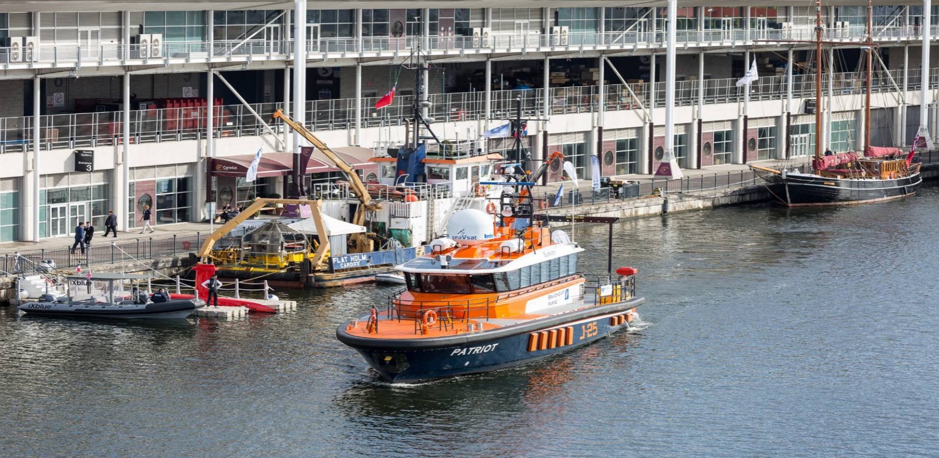
Dockside Activity
Boats On Display
Briggs Marine

The Solent Guardian is a 19m coastal survey vessel designed for delivery of hydrographic, geophysical and environmental surveys. With a beam of 6.3m and shallow draft of 1.5m, it offers an ideal survey platform for coastal areas as well as having unhindered access to nearshore environments.
Equipped with onboard data feeds for depth, position and heading, plus wet and dry laboratories and a robust moonpool deployed survey pole, it provides a comprehensive package for onboard data collection and processing. An A-frame and HIAB crane enable versatile equipment handling, while accommodation allows for up to 10 staff onboard for daily operations.
Hays Ships

Hays Ships owns and operates a small fleet of survey and research vessels for a wide variety of clients. With a forty-year history as a vessel provider, the company specialises in bespoke solutions for offshore applications in support of our clients’ projects.
Kongsberg

Kongsberg Discovery’s vessel FTV Xplorer will demo the EM 2042 Multibeam Echo Sounder and Seapath 385 Positioning System, with the compact CP300 ADCP. The EM 2042 offers embedded motion sensing, triple transmitting sectors for real-time stabilization, Dual Swath capability (up to 4096 soundings per ping), and the PredictivePitch™ feature for enhanced survey accuracy.
MJM Enterprise

Designed and built in the UK, the MJM Enterprise is a versatile 26.7m vessel, capable of various operations including Survey, ROV and Environmental campaigns. A highlight of the vessel is its robust 5.2m wide, 6T SWL A-Frame with 4.5t integrated winch (extra fall for 6T loads). The A-Frame offers a height of 6.5m with flanges on both the outboard and inboard sides, expanding the towing width.
The flexible deck mounting system, 1.2m moonpool and 38t/m crane make her perfect for survey, ROV, shallow geotechnical and environmental operations.
Dockside Demonstrations
BEEX

What’s the difference between automated, autonomous, and untethered? And when things don’t go as planned, how do you know what a drone will do? At OI, BeeX will be demonstrating Adaptive Autonomy — the intelligent “brain” powering our entire fleet of Hovering AUVs. One A.IKANBILIS drone will independently execute a seabed survey and inspection, completely untethered and adapting in real time.
A second A.IKANBILIS drone will provide a live underwater feed, giving you a front-row seat to autonomous decision-making in action. This isn’t pre-programmed waypoint following. This is autonomy you can trust.
CHNAV

The APACHE 6 is an autonomous USV designed for high-resolution 3D bathymetric surveys, underwater object positioning, and offshore construction. Its dual-propeller system supports stable autonomous cruising and efficient operations. With Android-based remote control capability, the APACHE 6 offers flexibility and accuracy for complex hydrographic survey projects.
Deep Trekker

See Deep Trekker’s latest portable ROV platforms built for offshore inspection work—plus a first public look at our next-generation ROV. Watch it run, ask technical questions, and see how it holds position in dynamic conditions for inspection, survey, and documentation.
Evo Logistics

Debuted in March 2023, the new EvoLogics Multibeam for the Sonobot is based on a Norbit OEM solution, an entry-class multibeam sonar with a professional approach. It comes with a high-grade dual GNSS and INS positioning and motion control which is standard for all Norbit echosounders. With 256 beams at 1.45°x1°, a range of over 200 m, and a ping rate of 50 Hz, this system enables professional surveillance that complies with the IHO’s S-44 standard.
MarineAI

At Marine AI, we are revolutionising vessel operations with cutting-edge autonomy software that transforms maritime safety and performance. Guided by our vision to make every journey safer and smarter, our intelligent systems empower vessels with unmatched precision, efficiency, and reliability.
From optimising navigation to enhancing operational decision-making, we ensure safer seas and unrivalled performance – for a better maritime future.
Maritime Robotics

During the live demonstrations, the Mariner Seadrone will carry out seabed mapping using a forward-looking sonar (FLS). Sonar and bathymetric data will be shown live on screen while the vessel follows an autonomous waypoint plan, mapping continuously with steady speed and stable line keeping. The focus of the session is on reliable data collection and clear situational awareness throughout the operation.
It will show how combining autonomy and sensor systems allows mapping work to be done with less risk to the crew and lower fuel use, while still maintaining the data quality required for professional survey work.
SATLAB

The HydroBoat 1200MB is SatLab’s latest USV multibeam solution, combining proven unmanned vessel technology with the HydroBeam M2 MBES (Multibeam Echo Sounder). Compact and easy to deploy, it delivers efficient, accurate hydrographic surveys while reducing setup time and operational complexity. Designed for inland and nearshore environments, its lightweight, agile build ensures reliable performance where precision matters most.
With intuitive controls and a user-friendly interface, the HydroBoat 1200MB enables small teams to achieve professional results with minimal effort. Balancing performance, simplicity, and value, it offers a dependable, cost-effective solution for surveyors seeking an integrated multibeam USV system.
Seafloor

HyDrone 4.5 is a rugged, one-person portable survey catamaran offering long battery life, fast setup, advanced sensor integration (incl. Nexys Pro SLAM LiDAR) and stable, high-quality hydrographic data.
STR

STR will bring its latest subsea technology to life in a live quayside demonstration, revealing how our newest innovations are reshaping subsea data acquisition, reliability, and operational efficiency. Attendees will experience first-hand how STR solutions deliver higher-quality data, significant cost savings and smarter offshore operations in demanding marine environments.
Teledyne Marine

Teledyne Marine will be hosting live on-water demonstrations aboard Maplin at Oi, giving attendees the chance to see advanced survey technology performing in real conditions. The demonstrations will feature the SeaBat T51-R Integrated Dual Head multibeam system, showcasing high-resolution bathymetric data output with exceptional coverage & clarity, presented through a new software interface designed to streamline workflows & improve visualisation. Also on show will be the Compact Navigator, demonstrated live to highlight its accuracy, reliability & ease of integration, & its role in supporting consistent, high-quality multibeam results through precise positioning & motion data. Together, the two systems offer a practical illustration of how modern multibeam and navigation technologies combine to deliver efficient, reliable survey data on the River Thames.
Need more information?
Are you interested but have some questions? We're here to talk you through all you need to know, and ensure you meet your business goals.
Ready to exhibit?
We are excited to help you achieve your goals. We've outlined a few simple steps to securing your place and getting the best return on investment.