Connecting The Global Ocean Technology Community
Connecting The Global Ocean Technology Community
Dive into a World of Ocean Innovation at Oceanology International
Unleash the potential of your ocean endeavours at Oceanology International, the industry's leading event. Explore cutting-edge technologies and solutions from across the entire ocean science and technology spectrum. Collaborate, share knowledge, and forge new partnerships with a global network of ocean pioneers.
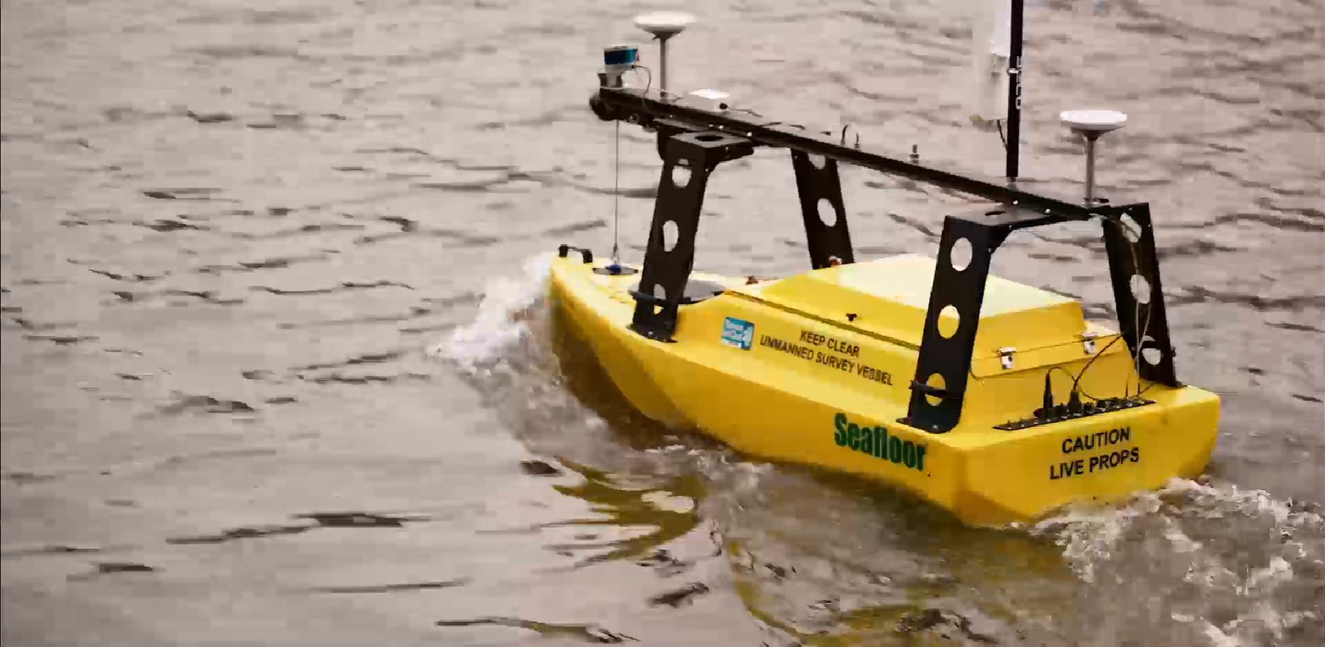
Experience innovative live on-water Demonstrations: witness the future of ocean tech come to life with interactive displays. Join interactive seminars led by experts: gain insights and shape the course of the ocean's future alongside leading minds.
Be part of the most successful ocean tech and science show in the world. Get the latest event news, industry updates and insights and connect with a growing and vibrant community.

500+
Leading Exhibitors
8,000+
Industry Professionals
120+
Conference Sessions

About
We've been connecting the ocean community since 1969, becoming the place to gain and exchange ideas and insights in marine science and technology.

Visit
This is the must-attend event for those involved in exploring, monitoring, developing, protecting and operating in the world’s oceans.

Exhibit
Promote your products and projects to quality buyers, create leads and build long-lasting relationships with key industry figures at Oi.
The Venue
ExCeL London
Royal Victoria Dock, 1 Western Gateway, Royal Docks
London, E16 1XL
Show Dates
Tuesday 14th March 2028
Wednesday 15th March 2028
Thursday 16th March 2028
Explore the Coastal and Shallow Water Sectors
COAST connects you to a highly targeted, global audience from across the coastal, shallow water, and ocean communities. Spotlight your solutions and your expertise to industry professionals shaping the future of coastal operations.
Welcome to Oceanology International. Now, be YOU.
At Oceanology International, everyone belongs. We cultivate a culture of inclusion at all our events, where the very things that make each of us unique are celebrated. Our exhibitors, attendees, partners and event colleagues are people from a wide variety of backgrounds, who make our shows stronger and our collective experience richer. Now, be YOU.
In partnership with


Endorsing Associations


Sponsors


Continue your energy transition journey & attend our other shows.
Our Energy & Marine Portfolio consists of...
